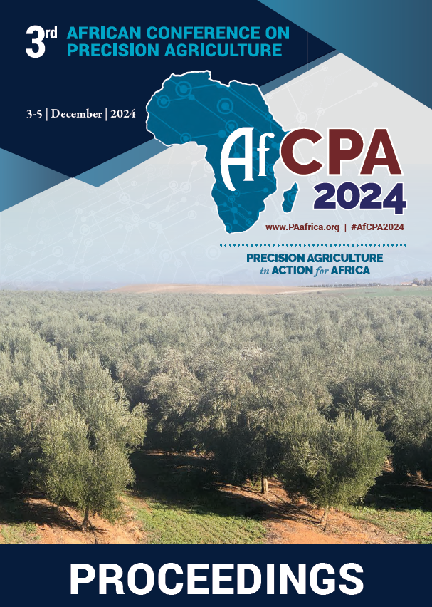
Download the Conference Proceedings
Proceedings
Authors
| Filter results6 paper(s) found. |
|---|
1. Orchard Yield Assessment in North-East of Morocco using Satellite ImageryAgricultural sector represents one of the pillars of the Moroccan economy. The Green Morocco Plan (GMP) established in 2008 present the main engine of development of this sector and for local economy. One of the objectives of Pillar I and Pillar II of GMP was to maximize production with less use of water resources. As an effect of climate change, Morocco is experiencing a strong variability in spatial and temporal variability of precipitation with a detrimental effect on yield and quality of crop... K. Aberkani, A. Matese, S. Samri, M. Said, S. Di gennaro, P. Toscano |
2. Development of Canopy Mapping System of Asian pears (Pyrus pyrifolia Naka) Using Terrestrial Laser ScanningIn this paper, the canopy mapping system (CMS) of Asian pears for estimating yield during Bud thinning and Pruning operations using point cloud data was proposed. Bud thinning and Pruning in Asian pear (Pyrus pyrifolia Naka) is necessary to ensure quality and yield but is time-consuming and heavily depends on work knowledge. This study described a method of estimating the number of fruits through the length of a branch based on remote sensing. The CMS would be useful to support more efficient... E. Morimoto, J. Lee, K. Nonami, I. Matumura, M. Ikebe, S. Sato |
3. Analysis, design and development of a web and mobile application for fertilizer olive orchards recommendationsFarmer’s fertilization practices (FFP) in olive intensive or super intensive orchards must be improved to a better control of fertilization costs, to increase olive yielding, to maintain soil fertility and to avoid environment pollution. Indeed, a large category of fertilizer users apply fertilizers arbitrary (66%) without any knowledge about the adequate nutrient requirements of a such planting system. To improve the FFP in intensive and super intensive olive orchards, and in the frame... A. Larbi, H. Boulal, H. El arbi, W. Ben hamouda |
4. Potato Yield Prediction Using Multi-temporal Sentinel-2 Data and Multiple Linear RegressionTraditional potato growth models have a number of flaws, i.e., the cost of data collection, quality of input data, and the absence of spatial information in some cases. To address these challenges, we created a multiple linear regression model (MLRM) that uses the multi-temporal Sentinel-2 derived indices to predict potato yield. Along the growing season (from October 2019 to February 2020) eight Sentinel-2 imageries were collected, afterwards, the normalized difference vegetation index (NDVI)... M.E. Amin, M.A. Abdelfattah, E.S. Mohamed, A.A. Belal, M. Nabil, A.G. Mahmoud |
5. Soil Moisture Sensing for Increased Water Use Efficiency and Crop Yields in Furrow Irrigated Systems: a Case of Mubuku Irrigation Scheme in UgandaWater and nutrient use efficiencies remain low in most of the irrigated systems in developing countries, undermining crop productivity in these areas. This is partly due to lack of precise and site-specific information to guide irrigation scheduling. In most cases information on soil properties and crop water requirements is lacking and thus irrigation scheduling is done on rotational basis whether the crop needs water or not. Consequently, the amount of water stored in soil root zone for crop... E. Opolot, D. Besigye, P. Musinguzi, I.N. Alou, T.A. Basamba, G. Olupot |
6. A Synopsis of Water and Nutrient Requirements of Hass Avocado for Uganda and Sub-saharan Africa PractitionersHass avocado production is increasing in Uganda and sub-Saharan Africa (SSA) to tap into the lucrative market especially in Western Europe, China, Japan, and Russia. However, there is limited information about its water and nutrient requirements in end-user-friendly formats especially in Uganda and SSA. We consolidated the scanty information about water and nutrient requirements of Hass avocado and made necessary recalculations and unit conversions to aid meaningful uptake of the information by... P.C. Odong, G. Olupot, T.L. Odong, A. Mwije, P. Musinguzi, I.N. Alou, T.A. Basamba, P. Ebanyat, E. Opolot |
