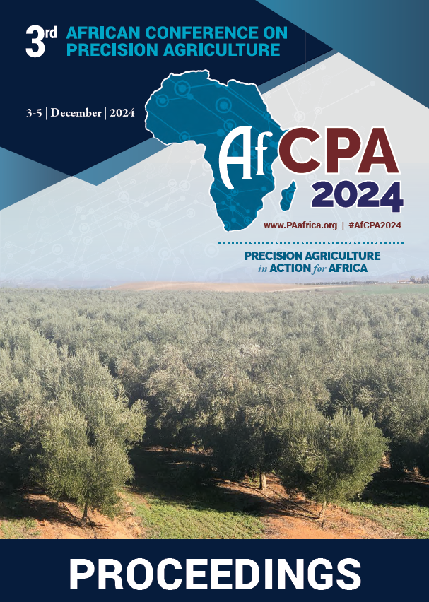
Download the Conference Proceedings

 
Get your copy of the 2024 African Conference on Precision Agriculture Proceedings today! Download the PDF file and view all of the available proceedings.
AfPCA Proceedings 2024

Proceedings

Find matching any: Reset
MOHSINE, A
Miller, M
Mary, I.K
Nyéki, A
Add filter to result:
Authors
Awosiyan, O.E
Mary, I.K
Adesina, F.A
BENAOUDA, H
MOHSINE, A
KAILIL, A
Crouch, J
Shephard, K
Miller, M
Collinson, J
Singh, P
Pypers, P
van den Bosch, R
van Beek, C
Chernet, M
Aston, S
van Beek, C
Chernet, M
Aston, S
Miller, M
Collinson, J
Shephard, K
Crouch, J
Terhoeven-Urselmans, T
Ambrus, B
Teschner, G
Neményi, M
Nyéki, A
Topics
Mapping and Geostatistics
Applications for UAVs
Plenary
Robotics, Automation, and Small Farm Mechanization
Type
Poster
Oral
Year
2020
2022
Home » Authors » Results

Authors

Filter results5 paper(s) found.

1. DIGITAL MAPPING OF EXCHANGEABLE CATIONS IN SOILS OF SOUTHWESTERN NIGERIA

Soil acidity and low exchangeable cation are the major soil fertility challenges resulting in low crop productivity in Southwest Nigeria. Digital soil mapping is an effective way to achieve precision agriculture. However, most of the research work on soil exchangeable cations as soil information was not geo-referenced, The study created geo-database and developed a digitized map of soil exchangeable cations Indicating the spatial distribution in soils of southwestern Nigeria. Secondary data... O.E. Awosiyan, I.K. Mary, F.A. Adesina

2. Autonomous Hexacopter Spraying drones for plants protection

Abbes KAILIL1, Hassan BENAOUDA2, Abdelhakim MOHCINE3, 1 Eng. Doctor in aerospace engineering, Moroccan Industry Services & Engineering SARL, Morocco. 2 Eng. Doctor in Agriculture, INRA, Morocco. 3 Engineer in agriculture, ONCA, Morocco.   Farming technologies have considerably... H. Benaouda, A. Mohsine, A. Kailil

3. Mapping African soils at 30m resolution - iSDAsoil - Western Time Zones

“iSDAsoil” combines remote sensing data and other geospatial information with carefully stratified point samples subjected to spectral analysis and traditional wet chemistry reference analysis. State of the art machine learning techniques were used to create digital maps of 17 agronomically important soil properties at 3 depths, including estimates of uncertainty. iSDAsoil is designed to encourage sharing and we hope that the owners of other soil and agronomic data, in industry... J. Crouch, K. Shephard, M. Miller, J. Collinson, P. Singh, P. Pypers, R. Van den bosch, C. Van beek, M. Chernet, S. Aston

4. Mapping African soils at 30m resolution - iSDAsoil - Eastern Time Zones

“iSDAsoil” combines remote sensing data and other geospatial information with carefully stratified point samples subjected to spectral analysis and traditional wet chemistry reference analysis. State of the art machine learning techniques were used to create digital maps of 17 agronomically important soil properties at 3 depths, including estimates of uncertainty. iSDAsoil is designed to encourage sharing and we hope that the owners of other soil and agronomic data, in industry... C. Van beek, M. Chernet, S. Aston, M. Miller, J. Collinson, K. Shephard, J. Crouch, T. Terhoeven-urselmans

5. Self-developed Small Robot for Tomato Plants Detection

A mobile (robot) measuring station for tomato plant detection has been developed, equipped with different sensors and a self-developed hardware and software background. The development aims are the applications in precision crop production: artificial intelligence- based detection, imaging, data collection, automation, and remote sensing. The robot is fault- free in field conditions and is therefore a key development tool for precision farming and digital agriculture. The measurement system developed... B. Ambrus, G. Teschner, M. Neményi, A. Nyéki